Ingrid Yeung visits CEDD
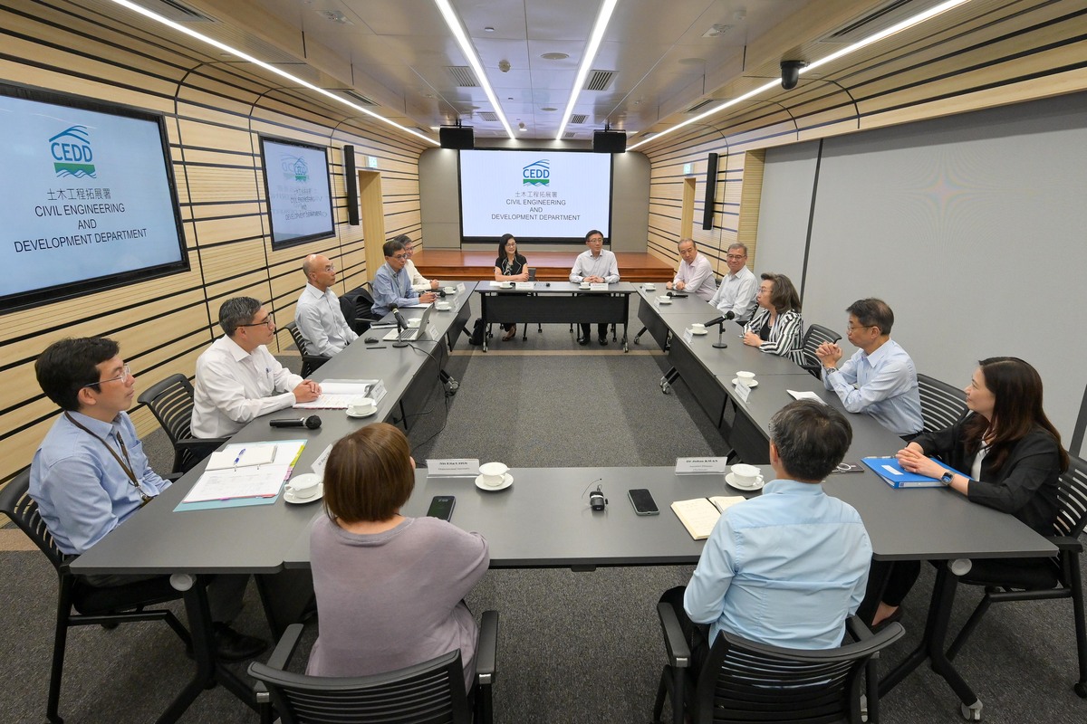
Secretary for the Civil Service Ingrid Yeung (third right) meets Director of Civil Engineering & Development Michael Fong (third left).

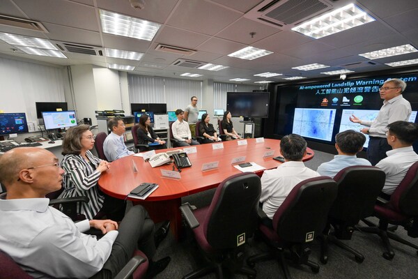
Mrs Yeung (second left) learns about the Landslip Warning System.
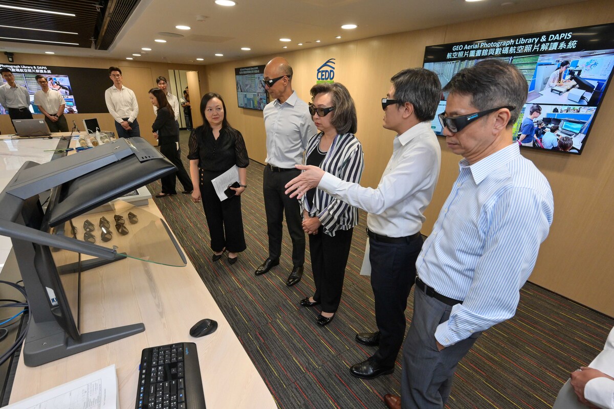
Mrs Yeung (third right) is briefed on the Digital Aerial Photograph Interpretation System.


Secretary for the Civil Service Ingrid Yeung today visited the Civil Engineering & Development Department to learn about the department's progress in optimising operational efficiency and services through the application of technology, as well as its work in slope safety safety and landslip prevention and mitigation.
Mrs Yeung met Director of Civil Engineering & Development Michael Fong and directorate staff to learn about the key initiatives of the Civil Engineering Office, the Geotechnical Engineering Office (GEO) and regional development offices.
She also met staff representatives from various grades in the department to hear about matters of concern to them.
Mrs Yeung said the expectations on the civil service from the community are constantly rising and that the challenges posed by extreme weather are becoming increasingly severe.
“I hope my colleagues will continue to strive for excellence, review workflows to enhance efficiency and effectiveness, and respond to changes with smart innovations. This will strengthen the public's sense of fulfilment, happiness and security.”
During Mrs Yeung’s visit to the GEO Emergency Control Centre, officers showed her the “Common Operation Picture” developed and managed by the department.
The electronic system facilitates the sharing of real-time information among different government departments to assist in monitoring emergencies such as landslides, flooding and fallen trees, and to enhance contingency co-ordination.
The GEO maintains a 24-hour, year-round emergency service, providing geotechnical advice to rescue teams and government departments on any emergency actions to be taken to deal with danger arising from landslides.
Mrs Yeung also learned that the department started a trial run of its in-house developed, AI-empowered Landslip Warning System this year.
The new system can further enhance the accuracy of the predicted number of landslides during heavy rainstorms, thereby improving landslide risk assessment and early warning capabilities.
In addition, officers responsible for planning and terrain evaluation briefed Mrs Yeung on the Digital Aerial Photograph Interpretation System launched last year.
The system digitalises historical aerial photographs and centralises such imagery on an instantly accessible digital platform.
It not only allows government departments and related organisations to remotely search, view and analyse high-resolution 3D data, but it also empowers professionals to map and visualise 3D terrains to support related research relating to slope safety management and land planning.
The system also eliminates the need to store physical photographs, and helps to shorten construction times, reduce construction costs, and promote environmental efficiency.
The department's staff also spoke about their efforts to enhance the speed and efficiency in order to support the development of the Northern Metropolis.
The Northern Metropolis is located in a geologically complex area with very limited engineering data. To speed up development and minimise the work required across different projects, the GEO has initiated a regional ground investigation study in the Northwest New Territories, which involves carrying out ground drilling and rock load tests in strategic areas.